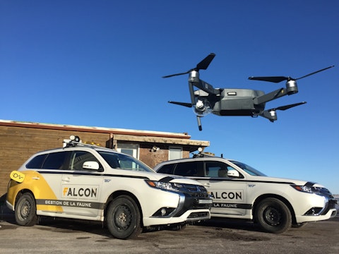
This project required the services for a multidisciplinary consultant team such as ours to develop an Airport Bird-Hazard Risk Assessment Process (ABRAP) for CFB 4 Wing Cold Lake, in accordance with Transport Canada’s TP 8240-Airport Wildlife Management Bulletin No.38.
The purpose of the project was to mitigate the threat of bird strikes to aviation safety, ensure sustainability of the wildlife habitat, and assess risks associated with encroaching land-use development within the city and 4 Wing Cold Lake.
The ABRAP was part of a five-step process that included identifying, evaluating, and categorizing aircraft and wildlife risks within airfields and surrounding properties. The ABRAP was applied to increase the awareness of aviation wildlife management and influence planning policies concerning future development of the surrounding off-airport lands.
A good knowledge of bird density and behaviour is required to adequately evaluate bird-strike risks around airports. The avian radar is a new tool to monitor bird populations that constitute airport safety hazards.
During the course of this project, the very specialists who developed the radar technology (ACCIPITER RADAR) trained our team on the use of the radar. The expansion of radar technology in the aviation sector makes it an integral part of aviation’s future, not just as a tool for risk management, but also as a wildlife management tool.
Radar allows monitoring bird movements within a 20 km radius around runways, year-round, on a 24-hour basis. It provides information about the position and the trajectory of birds, in addition to their size. Hence, daily and seasonal bird activity periods can be identified. A movement density map can also be produced, providing a snap-shot at any given time to identify areas that birds utilize.
For airport managers and wildlife control officers, this provides relevant information on where to focus their efforts, e.g. particular locations, certain times of the day.